Data sources
During the creation of these maps, the following data sources were used:
Elevation maps:
National Aeronautics and Space Administration (NASA), National Imagery and Mapping Agency (NIMA), German Aerospace Center (DLR), and Italian Space Agency (ASI), 2002, Shuttle Radar Topography Mission (SRTM) Elevation Dataset: U.S. Geological Survey, Sioux Falls, SD.
Forest cover maps:
Source: Hansen/UMD/Google/USGS/NASA
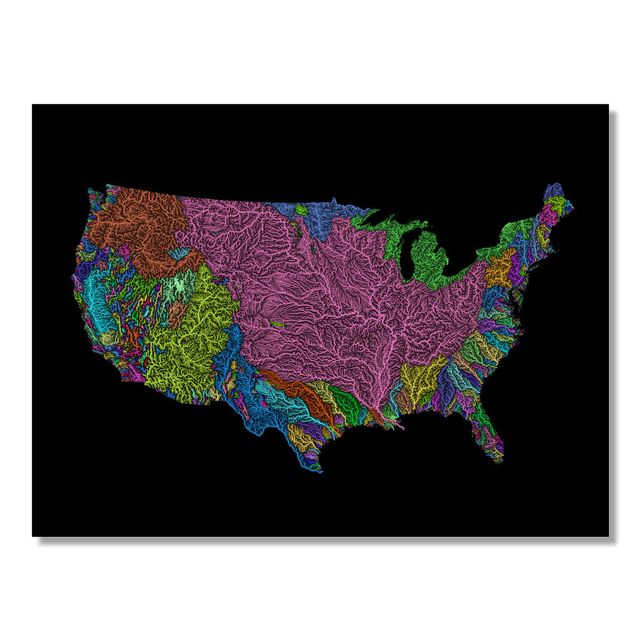
River basin maps:
National Aeronautics and Space Administration (NASA), National Imagery and Mapping Agency (NIMA), German Aerospace Center (DLR), and Italian Space Agency (ASI), 2002, Shuttle Radar Topography Mission (SRTM) Elevation Dataset: U.S. Geological Survey, Sioux Falls, SD.
Population density maps:
WorldPop (www.worldpop.org - School of Geography and Environmental Science, University of Southampton; Department of Geography and Geosciences, University of Louisville; Departement de Geographie, Universite de Namur) and Center for International Earth Science Information Network (CIESIN), Columbia University (2018). Global High Resolution Population Denominators Project


